‘Blue sky lightning’: New storm risk after swimmer hit
Source: Facebook
A man remains in a critical condition after being struck by lightning as Australia’s east coast prepares to be hit with more wild weather.
Severe thunderstorms bringing giant hail and destructive winds are set to lash central and northeastern NSW as well as southern and central parts of Queensland.
Senior meteorologist Sarah Scully said large parts of both states could experience supercell storms bringing dangerous thunderstorms, destructive winds and large hail.
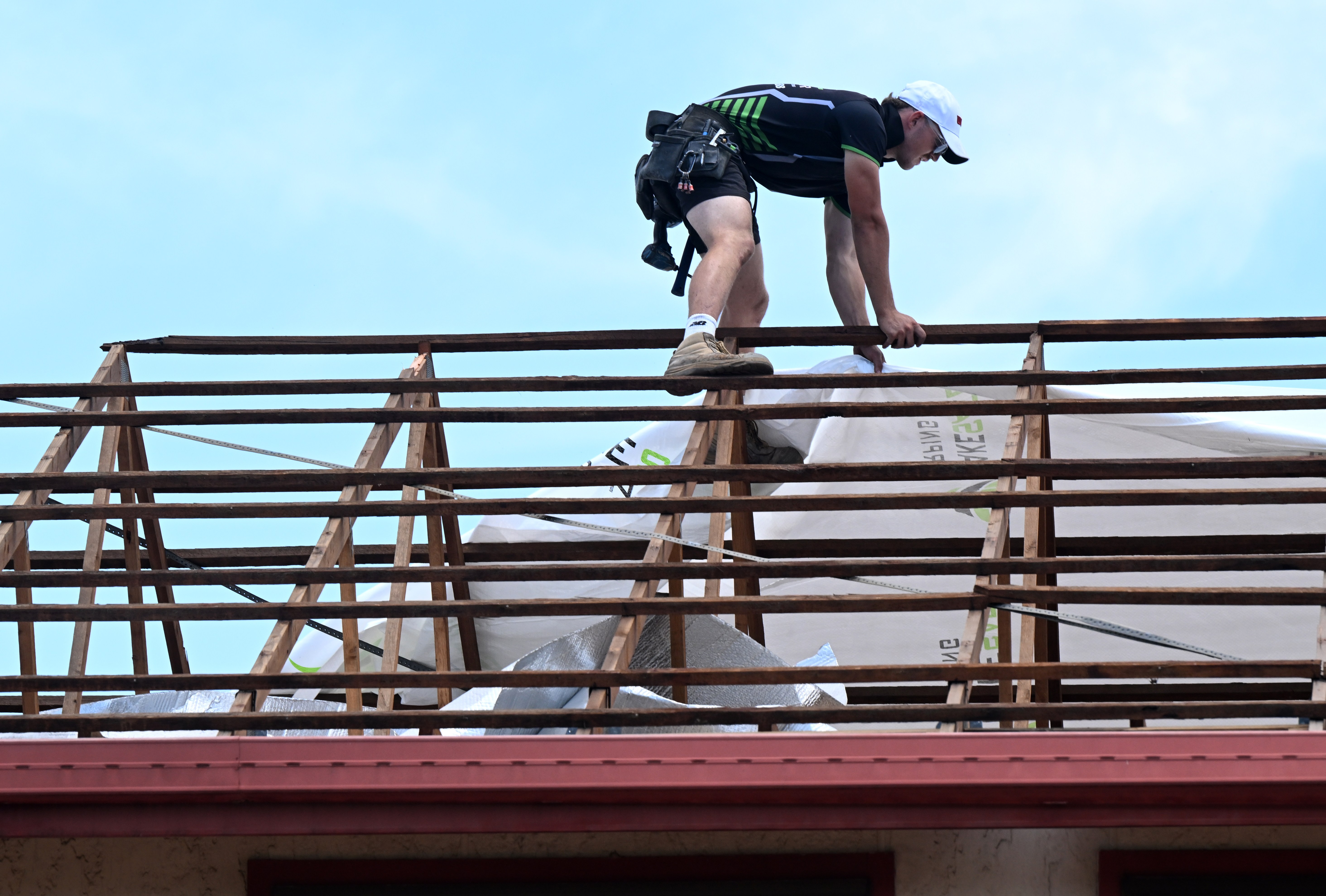
East coast states are bracing for more wild weather after destructive winds tore roofs off homes. Photo: AAP
“Impacts with these high-end thunderstorms include the potential for damage to homes and to cars, with the large to giant-sized hail,” Scully said in a Bureau of Meteorology update on Sunday afternoon.
“Destructive winds are possible to bring down trees and power lines, cause power outages and create really hazardous driving conditions.
“While the rainfall, heavy to locally intense rainfall, that could lead to life-threatening flash flooding.”
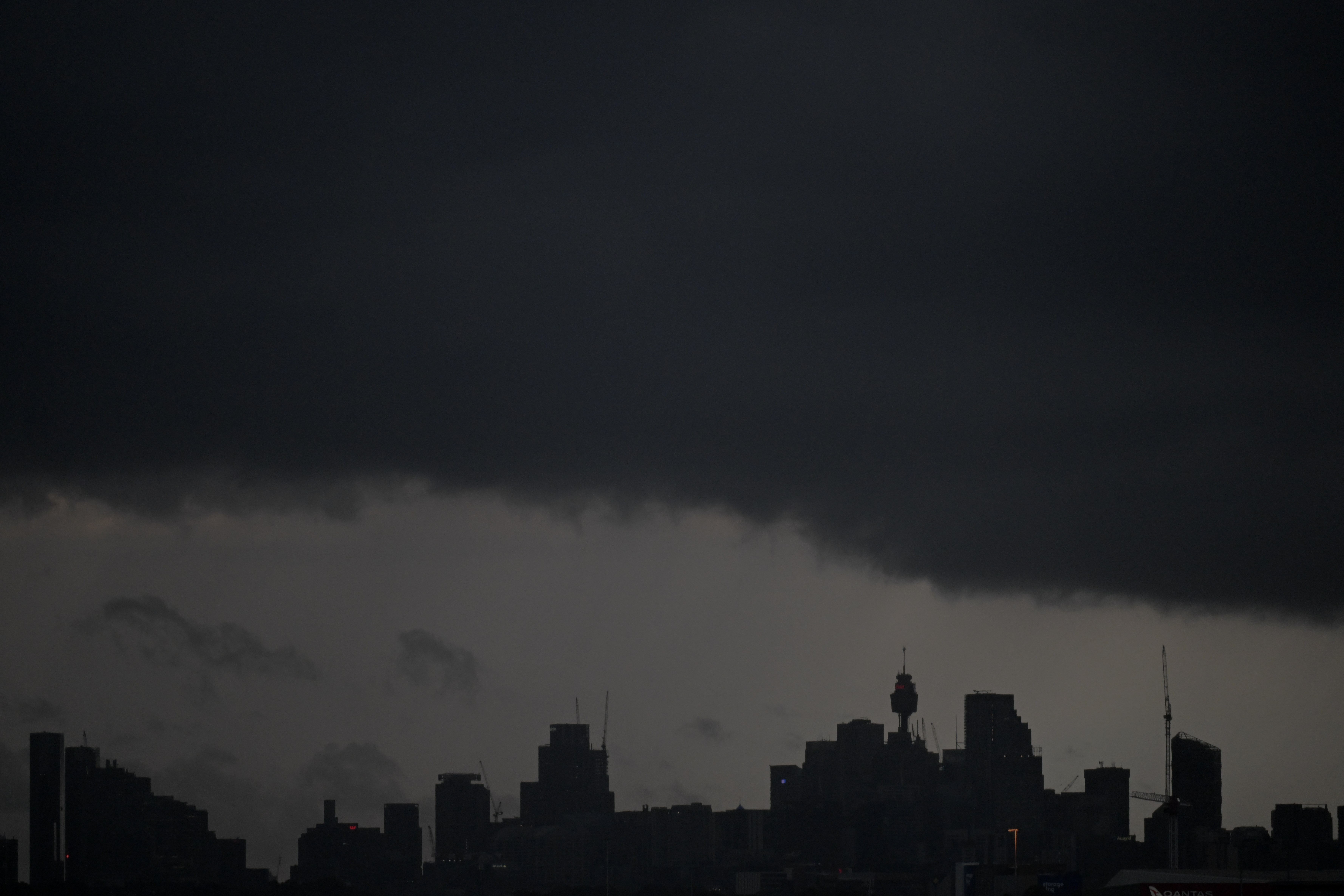
Widespread thunderstorm and lightning activity across the nation’s east is due to humid conditions. Photo: AAP
The volatile weather has already claimed one victim after a man was struck by lightning while swimming on the NSW Central Coast on Saturday.
The man was pulled to shore at Ettalong Beach before being taken to hospital by ambulance where he remains in a critical but stable condition.
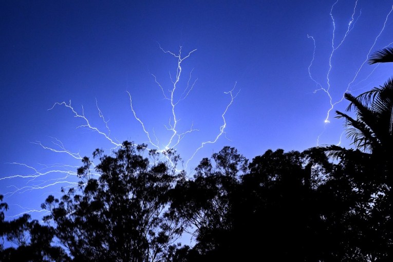
Scully said despite the clear and sunny conditions at the time, a storm kilometres away from the beach likely produced a lightning strike that travelled up to 30km from the thunderstorm itself.
“Blue sky lightning is quite rare,” she told ABC News.
“Typically when we think of lightning, we think of it striking down from the cloud base into the ground.
“But lightning can travel sideways either between clouds, to other clouds, cloud to cloud, or it can even shoot out sideways from a cloud down into the ground.”
“This is what sounds like happened yesterday … it was definitely possible for that man, unfortunately.”
Severe thunderstorm cells formed across northeastern NSW by 3pm on Sunday, lashing the Lower Hunter, Newcastle, Maitland, Charlestown and Wallsend late in the afternoon.
By 4pm the storm activity widened to most of the Mid North Coast and across to the North West Slopes and Plains east of Narrabri.
The Bureau of Meteorology said the wild weather was due to a humid air mass combining with a trough to destabilise the atmosphere, resulting in a widespread area of thunderstorms.
The risk of supercell development is expected to move into parts of southeastern Queensland and the Northern Rivers districts of NSW on Monday.