‘Dangerous storm outbreak’ could hit three capital cities

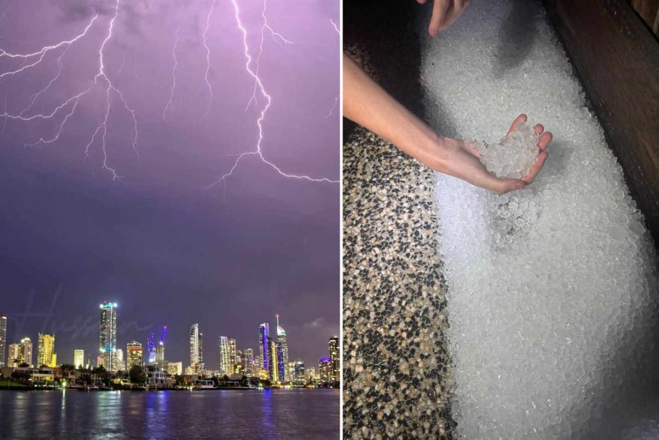
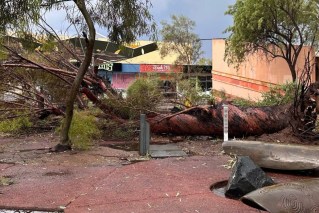
Storms over the Gold Coast (left) and hail in Maryborough on Monday night. Photo: Hussain Photography / Kristen Williams
A “dangerous storm outbreak” is expected to impact two states on Tuesday — affecting millions of people in three capital cities — after a wild night left an area of Queensland blanketed in hail.
The weather bureau issued warnings for severe thunderstorms across parts of Queensland and NSW on Tuesday.
The risk extended from the Illawarra in NSW all the way up to Queensland’s Wide Bay region and inland to areas around Barcaldine and Clermont in western Qld.
“The most dangerous storms are expected in inland parts of the South East Queensland coast, eastern Darling Downs and Granite Belt, southern and western parts of the Wide Bay and Burnett district, and the Border Ranges and far north-east New South Wales,” warned the Bureau of Meteorology.
“These storms may produce destructive winds or giant hail.”
Weatherzone said a broader outbreak of showers and thunderstorms would also extend into eastern Victoria and possibly include Brisbane, Sydney and Canberra.
“With three capital cities and numerous other densely populated areas at risk of severe thunderstorms on Tuesday, millions of Australians may be affected by this dangerous storm outbreak,” wrote Weatherzone.
“But the more intense supercell storms would be concentrated over central and southeast Queensland and northeast NSW.
“The highest risk of supercells on Tuesday will be between central Queensland and the Mid-North Coast in NSW, including southeast Queensland.
“If any tornadoes do occur on Tuesday, they will be very localised compared to the rain, hail and wind impacts that are more likely to occur across this region.”
On Monday night, hailstones as big as 10 centimetres slammed the city of Maryborough, Wide Bay region, leaving a blanket of ice on the ground.
“Hailstones as big as six to 10 centimetres were reported at Glenwood, with four to five centimetres hail near Yarraman,” said BOM.
“On the northern Sunshine Coast, 54 millimetres of rainfall fell in just 30 minutes at Cooroy.
“Severe storms also impacted NSW, mainly around the Northern Rivers and nearby parts of the Northern Tablelands, although a severe storm also moved into the southern Riverina.
“Hail around five centimetres was recorded at Fine Flower, in the inland Northern Rivers, while large hail and damaging winds impacted the area around Grafton.
“In Victoria, severe storms developed in the north-west. Golf ball-sized hail was reported at Quambatook, south of Swan Hill.”
Supercells are the most dangerous type of thunderstorm that can include very heavy rainfall, destructive wind gusts (exceeding 125 km/h) and giant hail (greater than 5 centimetres).