The Simpson Desert is a must for off-roaders
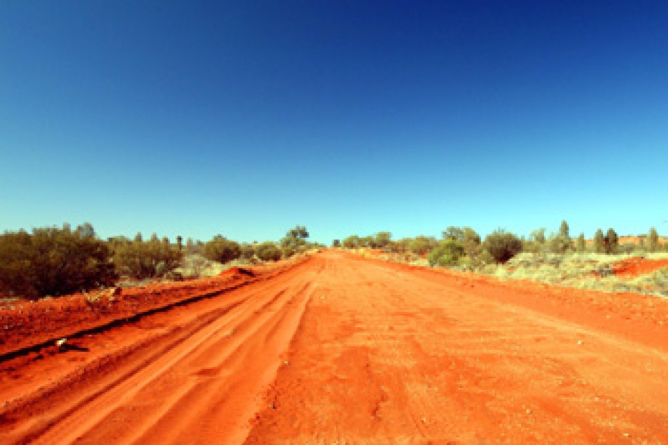
Crossing the Simpson takes considerable preparation.
Today, 4×4 drivers take crossing the Simpson Desert for granted, but it wasn’t like that until the 1980s.
‘Doing The Simpson’ is now one of the rites of passage from novice off-roader to experienced adventurer.
Although several camel-based explorers and surveyors had crossed this region, no vehicles ventured into The Simpson until the ’60s, when Delhi, a French company, Santos and Dr Reg Sprigg, later of Arkaroola fame, conducted seismic exploration in the dune fields, and ‘shot line’ construction by bulldozers continued for the next 20 years.
• Pastel Winnebago arrives in Australia
• Most beautiful scenic drives on earth
• Australia’ best beach camping spots
The French Line and QAA tracks follow exploration lines so they’re pretty straight, tackling the sand dunes head-on.
However, there are many off shoots as far south as the Rig Road that are clearly marked on the maps provided with the South Australian Desert Parks Pass.
You must obtain a Pass before attempting a crossing.
There are more than one thousand dune crossings on the route and the largest of them, the famous ‘Big Red’, is situated near Birdsville.
Because of the nature of the dune field and the prevailing winds the sand ridges are less steep on their western faces than on their east-facing sides, so an eastbound crossing is easier than a westbound one.

Crossing the Simpson takes considerable preparation.
Between the dune ridges are valleys or swales that are flat and have taller vegetation, thanks to the sheltering effect of the dunes and the water flow from them.
Many of these valleys have flat claypan sections that make ideal bush camps.
Although the vast dune field is the dominant feature of the Simpson Desert.
There’s scenic variety in several places, including ruins and a spring-fed swimming hole at Dalhousie Station that operated from 1873 to around 1925.
Over the years, sheep, cattle, goats, camels and horses were bred at Dalhousie.
A derelict racetrack near the homestead suggests that picnic races broke the harsh rhythm of Outback station life from time to time.
Purni Bore, with its accompanying small lake, loo and shower is an unexpected oasis at the beginning of dune country.
The bore flow at Purni has been restricted in recent years, so the expanse of wetland has shrunk markedly, but there’s still plenty of birdlife.
At Poeppel Corner the track takes a sharp dogleg, to intersect with the QAA Line.
The Corner area is quite well organised these days, with a boardwalk to the survey post that marks the boundaries of Queensland, South Australia and the Northern Territory.
The desert-edge fuel stops for a Simpson crossing are at Mount Dare Homestead and Birdsville, some 600km apart.
Fuel consumption can be heavy in soft sand, so additional fuel needs to be carried – best done in a fitted long-range tank.
Towing a camper trailer adds greatly to fuel consumption while decreasing mobility, so trailers aren’t recommended.
If you must tow, the easier Rig Road track should be your choice.
There is no reliable water between Dalhousie and Birdsville, so carrying drinking water is critical. Around 25 litres per person is the minimum amount for a typical 4WD crossing.
However, while it’s not wise to skimp on essentials, a 4WD should travel as lightly loaded as possible, to reduce the tendency to sink into the soft sand.
Also necessary is a tall mast with red flag on top, to alert oncoming vehicles that may be on the other side of a high sand dune.
This article originally appeared on caravancampingsales.com.au. All images via caravancampingsales.com.au.
