Fire bans, heat warnings after storms batter two states

Source: Sunrise
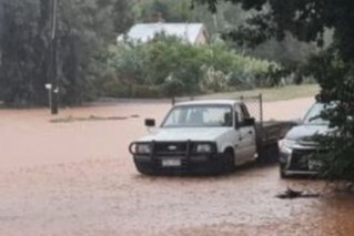
Strong winds and high temperatures have triggered fire bans and storm warnings across south-eastern Queensland, just a day after wild storms left thousands without power.
Energex reported more than 67,000 customers had lost power in south-east Queensland on Sunday night, as wind gusts reached more than 95km/h.
Meanwhile, in Brisbane on Sunday, lightning halted play during the rugby league Pacific Cup Men’s match between Samoa and Tonga. Spectators moved to shelter as the storm hit.
Source: Bureau of Meteorology
Residents posted footage of intense hail falling and lightning strikes across Brisbane, Toowoomba and Ipswich, with many reporting damaged properties.
There were wind gusts of 96km/h at Archerfield Airport in Brisbane.
The storms extended across much of Queensland’s south-east, including the coast, Darling Downs and Wide Bay and Burnett areas.
Nine government schools and at least two independent schools were closed across Brisbane on Monday.
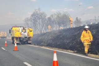
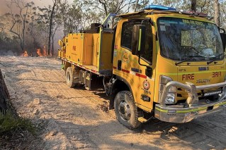
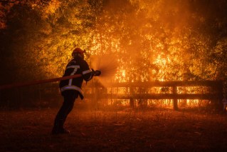
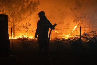
“There are still 50 fires that are burning right across the whole of Queensland at this point of time,” Rural Fire Service Queensland’s deputy chief officer Peter Hollier told Seven’s Sunrise.
“Areas of concern are still up into the north. Mareeba, up into Cairns, down as far south into central region as far as Emerald. We still had fire activity in around south-west, out around past Roma towards the border. So, we’re still looking at quite a potential few areas of challenge as we move into today.”
Rain and storms are expected to linger along much of eastern Queensland this week as a low-pressure trough continues to draw in moisture against the coast. It will also be hot, with Brisbane forecast to reach 37 degrees on Monday before a short cool change.
Weather bureau senior meteorologist Miriam Bradbury said the temperature would fall to 21 degrees on Tuesday before climbing again later in the week.
“It’s going to be very, very warm [today],” Bradbury said.
“There is a burst of cooler air that’s going to come up from the south – the relief is in sight. It’s going to be short-lived, but there definitely is going to be a day or two of respite.”
More rain is also forecast, with Tuesday likely to be the wettest day.
Tornado strikes Victoria
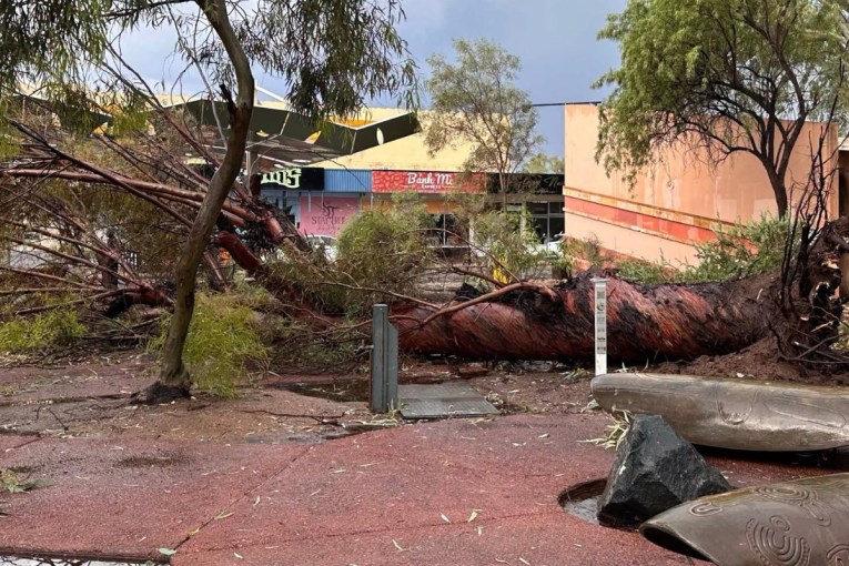
At the other end of the country, 25,000 homes also lost power as Melbourne endured its wettest day in 18 months and a suspected tornado tore through the western suburbs.
Bureau of Meteorology senior forecaster Mark Anolak said on Monday that it was not a regular storm.
“Absolutely, it looks pretty clear that it was a tornado that moved through,” he told ABC Radio Melbourne.
The Victorian SES received hundreds of calls for help across the state as heavy rain and storms uprooted large trees, ripped tiles from roofs and flooded city streets on Sunday afternoon.
Werribee and Hoppers Crossing in the city’s west were the two most affected suburbs, with the suspected tornado cutting a narrow but devastating path of damage
Anolak said Melbourne had 35 millimetres of rain on Sunday, making it the city’s wettest day since April 2024.
“Thankfully, that significant weather has now cleared off to the east. There may be some residual showers moving up from the south,” he said.
Also on Sunday, Victoria’s chief health officer warned of an increased chance of epidemic thunderstorm asthma across the state’s northern country region.
Epidemic thunderstorm asthma is where a large number of people suddenly develop asthma symptoms over a short period. It is thought to be triggered by a combination of high pollen levels and a certain type of thunderstorm.
In November 2016, Melbourne experienced the world’s largest epidemic thunderstorm asthma event, overwhelming emergency services and leading to 10 deaths.
Among those affected were people with seasonal hay fever who had never had asthma.
Asthma sufferers are urged to carry their reliever puffers with them at all times.