Trees down, flash flooding as NSW is drenched

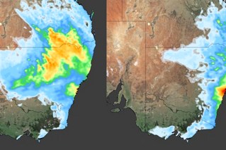
Source: Bureau of Meteorology
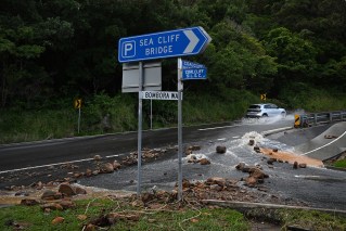
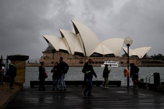
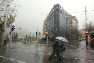
Emergency services have responded to hundreds of calls for help after rain bucketed down on Sydney and surrounding areas at night.
There were about 300 calls to the NSW State Emergency Service on Sunday night and Monday morning, mostly from Sydney’s storm-hit northern beaches, including the suburbs of Frenchs Forest, Mona Vale and Avalon.
Callouts included requests to deal with downed trees and leaking rooftops.
Authorities warned slow-moving showers and thunderstorms forecast for Monday and Tuesday had the potential to cause flash flooding in parts of the state’s mid-north coast and northern rivers, as well as the far west.
“[There is] the potential for deluges and flash flooding across the metropolitan Sydney, Illawarra, and Central Coast regions,” forecaster Weatherzone warned.
“A coastal trough, coupled with a highly moist south-easterly flow, is set to intensify showers … along the NSW coast and adjacent inland areas.
“Monday’s rainfall holds the potential for deluges, raising the risk of flash flooding during the morning and afternoon. This may result in a notable disruption to workers’ commute as many people return to the office after Christmas breaks.”
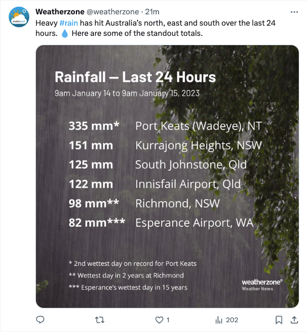
One of NSW’s highest rainfall totals was at Kurrajong Heights, in the Blue Mountains, which got 151 millimetres in the 24 hours to Monday morning.
There were also significant falls in Sydney’s west, including 122 millimetres at North Rocks and 103 millimetres at North Parramatta.
More than 70 millimetres fell at Ballina, in the northern rivers, after a thunderstorm hit.
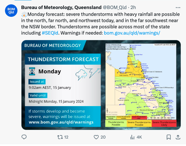
More thunderstorms were possible across an area from north of Newcastle to the Queensland border on Monday afternoon and night, as well as for much of NSW’s far west.
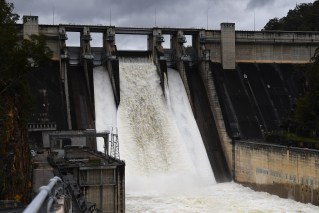
The same area faces the chance of further rainfall on Tuesday and the potential for already soaked catchments to overflow.
More rain for Australia’s sodden north
Meanwhile, a tropical low off the coast of Darwin and monsoonal rain in far north Queensland are expected to bring large volumes of rainfall to already sodden regions.
The Bureau of Meteorology said some areas south of Darwin could experience up to 500 millimetres of rain by Wednesday, with widespread totals elsewhere in the region totalling 200-300 millimetres.
A severe weather warning has been issued for the Top End in the Northern Territory, including Darwin and the Tiwi Islands, with damaging wind gusts and monsoon squalls also expected.
Senior meteorologist Angus Hines said the combination of the low-pressure area and predicted thunderstorms could lead to damaging winds.
“We could see damaging wind gusts in excess of 90km/h through the course of Sunday and into Monday as it stays windy into the new week,” he said on Sunday.
“Some areas might see as much as 500 millimetres through this part of the country with much more widespread totals in the region of 200-300 millimetres.
“As well as that, there will be extensive rainfall of 100 millimetres-plus through much of Northern Territory, a lot of north Queensland as well.”
A monsoon trough spanning from Western Australia across to the far north Queensland coast was expected to bring heavy rainfall to an already saturated region.
Douglas Shire Mayor Michael Kerr said residents of flood-stricken Degarra in Queensland’s far north were still trying to clean up the damage from ex-tropical cyclone Jasper last month.
“The residents of Degarra are at breaking point,” he said.
“We need what was promised for the locals.
“It’s a ludicrous situation that we can provide assistance for countries overseas within hours but our residents have been waiting over a month since the disaster and seven days since approval was given for assistance and they’re yet to see any.”
The Department of Housing has sent caravans to the region as temporary accommodation, but Kerr said they were a three-hour walk away for Degarra residents.
Through the week, the weather bureau forecast totals of 100-200 millimetres of rain and frequent widespread thunderstorms with the risk of flooding across Queensland’s far north.
Flood watches are in place for parts of the NT’s western Top End and areas to the southwest, west and north of Cairns in Queensland.
“As we track the rainfall across these river catchments, they may well respond with flood responses through the course of the next couple of days,” Hines said.
-with AAP
