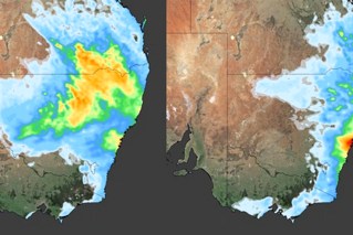
Storms, rain and hail – states face week of weather havoc

Source: Bureau of Meteorology
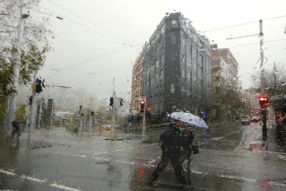
Storms, heavy rain and large hail are on the way for millions of Australians, as the eastern states face a wet week.
Rainfall totals of well over 100 millimetres are likely in parts of eastern Queensland, NSW, Victoria, and even Tasmania as the wet weather ramps on through the middle of the week.
“We’re expecting severe storms, particularly through northern Victoria and inland NSW with heavy rain, damaging winds, and large hail,” Bureau of Meteorology senior meteorologist Dean Narramore said on Monday.
“Tuesday night into Wednesday, we’ll see an area of rain move into coastal parts of NSW and Queensland, particularly central and South Coast NSW.
“We could see heavy rain develop and another round of severe thunderstorms for central and south-east Queensland and north-east NSW on Wednesday, before conditions slowly ease as the lower trough moves offshore.”
Narramore said up to 50 millimetres was likely in parts of Victoria, while totals closer to 100 millimetres were possible in NSW and Queensland could see totals closer to 100 millimetres.
“Isolated falls in excess of 150 millimetres” were possible in south-east NSW, he said. That includes Bega and Batemans Bay, on the NSW south coast.
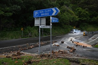
Forecaster Weatherzone said riverine and flash flooding were possible as the week went on.
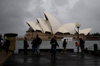
“If you’re in any capital city (or nearby areas) other than Perth and you need to get a load or two of washing done, your best bet might be to get it out on the line as soon as possible this Monday,” Weatherzone’s Anthony Sharwood wrote on Monday.
The late spring downpours after being driven by two upper-level troughs. One will stall for some days over the heart of the Murray Darling Basin
“The second one is already causing storms over southern WA today, and will drift eastwards throughout the week and eventually merging with the other system on Friday and into the weekend,” Sharwood wrote.
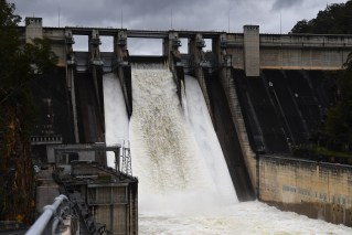
The weather bureau has issued initial flood warnings for rivers on the NSW south coast, inland-central-west and south-west regions from Wednesday.
There are also flood warnings for some Queensland rivers.
Narramore said forecasts suggested the worst would likely be over for most places, except Victoria, by Thursday. However, another low is expected to redevelop in central Australia, bringing more wet weather at the weekend.
“We’re stuck in a lasting weather pattern,” Narramore said.
“We’ve got upper lows and an upper trough system moving through and interacting with very moist and humid air across eastern parts of the country to bring widespread showers and storms.”


