States face year’s ‘most significant’ rain, flood threat

Australians across the southern states have been urged to brace for the “most significant rain event this year”, as days of heavy rain and storms descend.
Victorian authorities warned heavy rain will start on Wednesday, bringing the highest risks across the state from Thursday into Friday.
Emergency Management Victoria Deputy Commissioner Chris Stephenson urged communities to prepare early.
“You need to make sure that you are prepared for up to 72 hours of potential isolation,” Mr Stephenson said on Tuesday.
This included ensuring any required medication was available, pets were provided for and neighbours were kept in mind. These were important steps because “we need our first responders to actually respond to those vulnerable people, those people that need them most”.
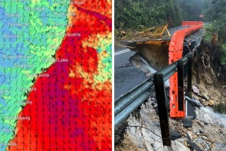
Weather bureau senior meteorologist Kevin Parkin said widespread falls of up to 50 millimetres were expected across much of Victoria from early on Thursday until Friday.
“Also higher falls of 60-100 millimetres about the Great Dividing Range and the northern catchments – and that’s where catchments are saturated and we’ve already got riverine flooding,” he said.
“Melbourne is at risk as well – not only of flash flooding on the Thursday, but also seeing river rises through Melbourne’s catchments.”
Tweet from @EWNAlerts
VICSES chief operations officer Tim Wiebusch urged Victorians to be “flood ready”.
“In particular on Thursday, flash flooding is likely to be a risk in many parts of the state, including urban areas,” he said.
Nine flood warnings are already in place in Victoria and Mr Parkin warned of dangerous wind gusts of up to 100km/h in higher areas.
“Where those damaging wind gusts are likely to be is where our forested areas are. So we’ll probably see some vegetation damage combined with lashing rain on the Thursday in those areas,” he said.
“It is not a safe place to be. This event is probably the most significant rain event widespread across the state this year. Certainly the most significant in recent months.
“And it’s not over yet. We are likely it have further incursions of tropical moisture leading to heavy rain across the state as spring unfolds and even into early summer.”
Victorian Premier Daniel Andrews said emergency services had hundreds of thousands of sandbags on standby and advised Victorians to be vigilant.
“We know that our catchments are full, we know that we’ve had record rainfall to this point, and the ground is absolutely sodden,” Mr Andrews said.
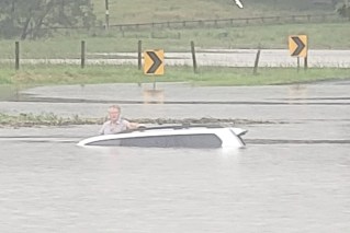
“Please don’t drive into flood waters, [it’s] dangerous for you and dangerous for the people who will have to come and rescue you.”
Tweet from @BOM_Tas
There are also concerns for northern Tasmania, where more than 200 millimetres of rain is possible in some areas.
“A severe weather warning will likely be issued for Tasmania later this afternoon for the potential of heavy rain and damaging north-easterly winds during Thursday into Friday morning,” the Bureau of Meteorology said on Tuesday.
“Significant flooding is likely to develop as catchments are generally wet and will be responsive to rainfall.”
NSW is also on flood watch, with 100 flood warnings ahead of this week’s downpours.
The heavy rain will lash western and southern NSW on Wednesday and Thursday. BOM said flooding was expected on numerous rivers.
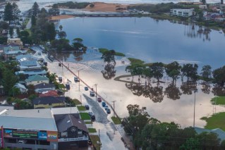
There is already major inundation along the Murrumbidgee River, with people in Gundagai on high alert and flooding possible at Wagga Wagga.
Tweet from @NSWSES
Other areas of concern include Gunnedah and Wee Waa in the state’s north-west, Warren, west of Dubbo, and Forbes in the central west.
SES volunteers have responded to more than 1000 calls for help since Friday night, including 155 in the past 24 hours, and conducted six rescues.
Some 450 emergency volunteers in the field were stretched across NSW “literally border to border at the moment”, Deputy SES Commissioner Daniel Austin told ABC TV on Tuesday.
In Queensland, there are minor flood warnings for the Bulloo, Lower Macintyre, Paroo, Bokhara and Barcoo rivers.
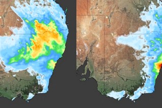
Source: Bureau of Meteorology
On Monday, the BOM released its severe weather long-range forecast into 2023.
It expects an increased risk of tropical cyclones and tropical lows and widespread flooding for eastern and northern Australia.
While there is “normal bushfire potential” in the eastern states, there will be an elevated risk of grass fires in southern Australia and a higher risk of prolonged heatwaves with higher humidity
The forecast also warns of a possible increase in the risk of thunderstorm asthma events if 2023 conditions are dry in late spring and early summer.
– with AAP
