Spring cold snap to bring snow, wild winds


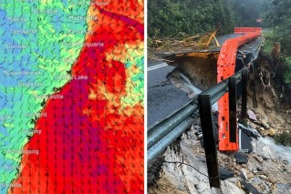
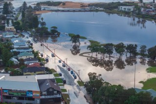
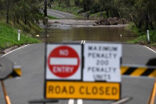
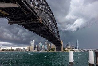
The BOM is predicting at least another week of heavy rain and thunderstorms along NSW's coast. Photo: AAP
Parts of NSW and the ACT could wake to a dusting of spring snow this week, with a cold snap and gusty winds forecast – and snow already falling in the Victorian high country.
The forecast comes as Sydney basked in unseasonal warmth on Monday, reaching 25.9 degrees by 2pm.
But the warmth will be short-lived, with potentially damaging winds hitting much of NSW and the ACT until Tuesday. The weather bureau said the system had the potential to bring down trees and powerlines.
Tweet from @mtbuller
It’s much chillier further south, where Melbourne had reached just 10.1 degrees at 2pm on Monday.
The cold snap comes with snow forecast as low as 400-600 metres in Victoria – meaning the Grampians in the state’s west might get a dusting, along with the Macedon Ranges in central Victoria and the Dandenong Ranges on Melbourne’s outskirts.
Even the city of Ballarat – which is about 430 metres above sea level – might get some spring snow this week
Victoria won’t escape the wind either, with gusty west to south-westerly winds, showers and thunderstorms behind a cold front crossing the state later in the day. There have already been gusts of more than 100km/h at Wilsons Promontory, Mount Buller, Mount Hotham and Mount Gellibrand.
Tweet from @BOM_NSW
The NSW State Emergency Service is urging people to clean-up loose items around their properties and reconsider boating or rock fishing.
A cool change is expected, with temperatures dropping by up to 10 degrees in some places. That could bring snow to as low as 600-1000 metres in NSW and the national capital – which is at 560 metres.
“It is possible that we may see snow in places like Goulburn and parts of the central tablelands, parts of the hills in Canberra, and then possibly stretching out to towns such as Armidale and Glen Innes,” meteorologist Jackson Browne said on Monday.
“The front is pretty mobile so it blows off the fast north-eastern parts of NSW during the course of Wednesday.”
But left in its wake will be more strong winds, which will develop along much of the coast. They will whip up hazardous surf conditions in areas between Sydney and Port Macquarie.
-with AAP
