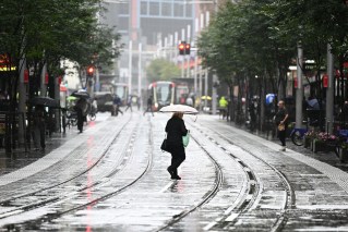
Winter isn’t over yet – with wild wind, rain and snow on the way to prove it

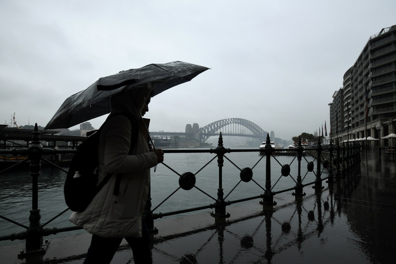
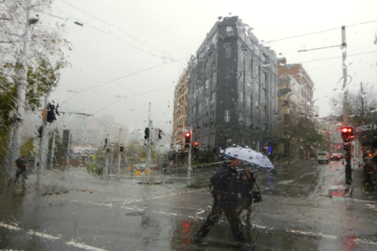
New research reveals an astonishing increase in the intensity of rain bursts in recent decades. Photo: AAP
Thought winter was over? Think again because a series of blustery cold fronts will bring strong winds, freezing temperatures and even snow to large parts of south-eastern Australia by the end of the week.
The first of the fronts swept across western NSW on Wednesday morning and was expected to reach eastern parts of the state in the afternoon – although greater Sydney will be spared the worst.
Bureau of Meteorology forecaster Rebecca Kamitakahara said the complex system was moving up from the southern ocean.
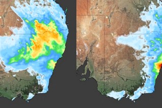
“It’s throwing up a few cold fronts, which are slowly moving up across the bight, going through South Australia and coming into Victoria and NSW,” she said.
Tweet from @weatherzone
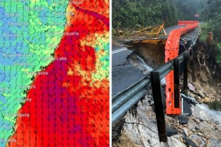
A severe weather warning for damaging winds has been issued for the state’s west, Riverina, Illawarra, Hunter, Mid-North Coast, South Coast, Central and Southern Tablelands, Snowy Mountains and the ACT.
Ms Kamitakahara said wind gusts of up to 90km/h were predicted.
“The main feature associated with that cold front is some very windy conditions right across the state,” she said.
Much of Victoria can expect similar conditions on Wednesday. The bureau has issued a wind warning for the Mallee, Wimmera, north-central, south-west, Central and West and South Gippsland forecast districts and parts of the state’s north.
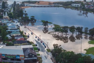
There are also flood warnings for numerous rivers in Victoria’s north and north-east.
Sydney was forecast to reach 21 degrees on the coast on Wednesday, with wind gusts of only 30-40km/h.
“Sydney probably won’t see the highest of the wind gusts … it’s not in the severe weather warning at the moment but it is still going to be a pretty windy day across the Sydney basin,” Ms Kamitakahara said.
Temperatures will also plummet inland as the cold front moves east, with Canberra expected to reach just 9 degrees and Wagga Wagga just 11 degrees.
“With the quite windy conditions we are expecting, it is going to make for quite a significant windchill factor,” Ms Kamitakahara said.
The front will also bring persistent rain, mostly west of the Great Dividing Range.
The wild and wintery conditions are expected to get more intense on Friday and Saturday, with snow forecast to fall as low as 500 metres on the southern ranges on Saturday.
Goulburn, Orange and Blue Mountains could all get snow, with temperatures as low as 4 degrees expected in Orange and 7 degrees in Goulburn.
Showers and storms are also forecast across Victoria, with widespread snow in the high country.
Tweet from @J2SkiSnow
And if you think this is just a final burst of winter weather, think again.
Ms Kamitakahara said such complex frontal systems were common at this time of year and could mean more blustery conditions well into spring.
“We can see cold snaps going into October and November, so it’s certainly not out of the question,” she said.
“We are likely to see a few more of these particularly windy systems, that tends to be a feature of this time of year when we’re going into early spring.”
-with agencies
