Australia’s wild weather: Snow in SA and heavy rain for the eastern states

Rain and even snow have fallen in some of the driest parts of South Australia as a front bringing heavy rain heads for eastern Australia.
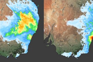
The Bureau of Meteorology said the cold front would bring showers and thunderstorms, some severe, to parts of NSW, Queensland and northern Victorian later on Friday and throughout the weekend.
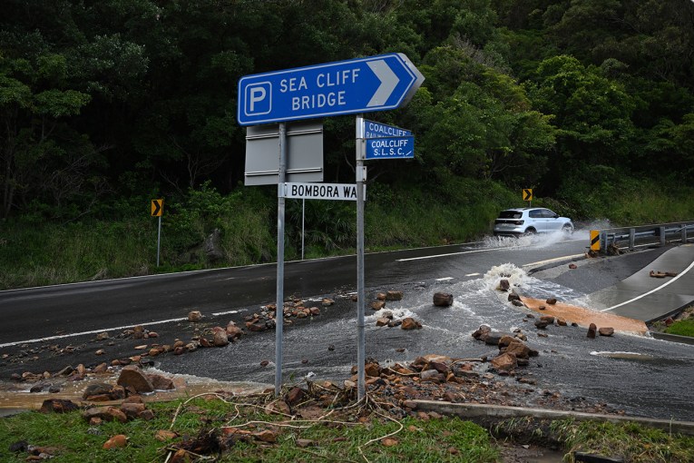
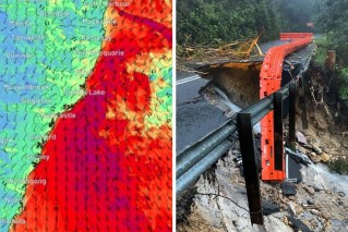
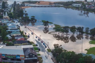
There are flood warnings for parts of east Gippsland, in far eastern Victoria, and the NSW South Coast. Up to 100 millimetres of rain is expected in some areas.
“A complex low pressure system currently lies over northern parts of South Australia, while a weak high pressure ridge lies over the east of the state,” the bureau said in a warning on Thursday.
“This low will … move south-east across the remainder of [NSW] during Friday, accompanied by wet, windy and cold conditions. During the weekend, focus will shift towards south-eastern NSW, as the low reaches the Tasman Sea, bringing heavy rain to the South Coast.”
The bureau said local river catchments likely to be at risk of flooding were already near saturation after heavy recent rain.
Tweet from @GeoARoberts
Earlier, there were reports of snow at Wilpena Pound, in South Australia’s Flinders Ranges, as the front moved through. The temperature in the area fell to as low as 2.5 degrees on Friday morning.
“We don’t see this very often. Snuggle up campers,” Wilpena Pound Resort wrote on social media.
Snow is not unknown at Wilpena Pound, but the last significant snowfall was believed to have been in 1995. By contrast, the region’s summer temperatures regularly top 40 degrees.
Holidaymaker Heather said she initially thought it was rain but could not hear anything, so went outside for a closer look.
“We were up at 7am and we could see it was falling,” she told ABC Radio Adelaide.
“We went outside in our pyjamas and bare feet and beanies and it was snow. The flakes were like great big fluffy soap suds.
“I’ve never seen snow, so it was really exciting to actually see it in South Australia, in Wilpena Pound. It was probably about 1.5 to 2 centimetres thick.”
Earlier this week an Antarctic blast also brought snow to low levels in Tasmania, including some Hobart suburbs and the northern city of Launceston. There was more snow from the icy cold front on the Great Ocean Road and in central and eastern Victoria.
The cold has shown no signs of easing for Australia’s south this week. On Friday, the tiny town of Liawenee, on Tasmania’s central plateau, plunged to a record low of -14.2 degrees.
The freezing temperature eclipsed the previous mark of -13 at Butlers Gorge, Tarraleah and Shannon in 1983.
BOM meteorologist Simon Louis said the provisional figure was being verified.
“Our climatologists will be looking at that really carefully, but at this stage … it looks like a record,” he said.
If it stands up, that means Liawenee was colder than Australia’s Casey Research Station in Antarctica – where it dropped to -12 overnight.
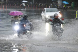
The cold front is also bringing plenty of rain for people along Australia’s eastern seaboard.
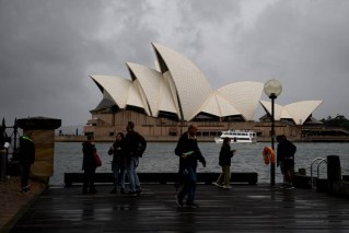
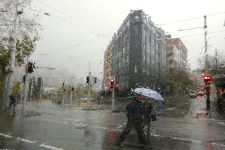
Up to 30 millimetres is forecast for Sydney by Saturday morning. Canberra can expect 60-70 millimetres across the weekend, while Melbourne is also in for a drenching of up to 20 millimetres.
There’s more snow on the way too, with up to 30 centimetres forecast for alpine regions in Victoria and NSW.
