Wet weekend to dampen fire risk across Australia

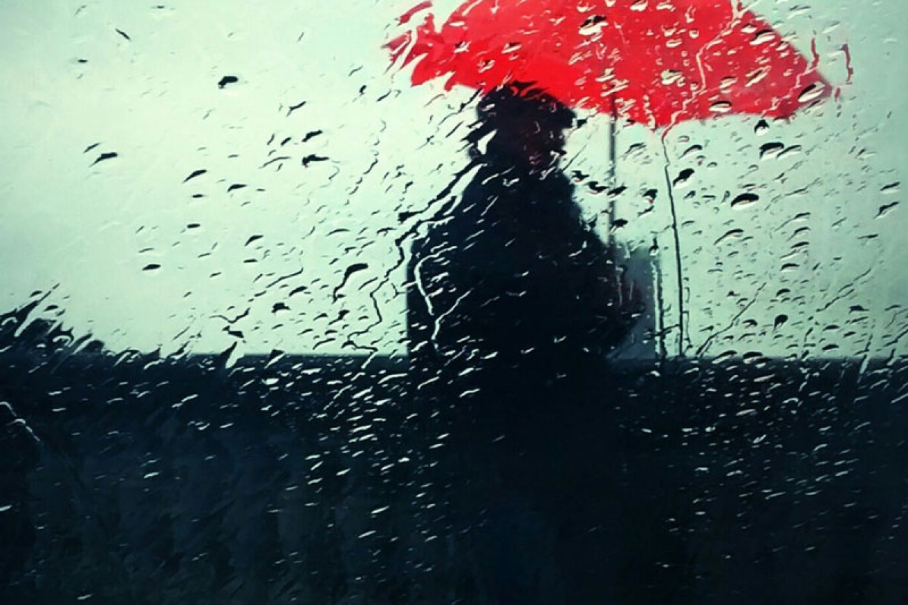
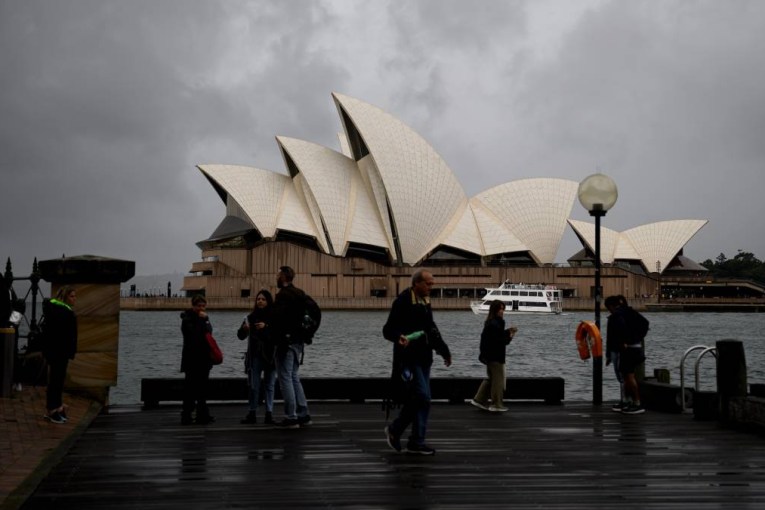
The Bureau of Meteorology has forecasted a wet weekend across the country. Photo: Getty
A wet weekend will dampen close to half of the Australian continent in an early spring downpour, but the storm clouds come with a silver lining. The rain will also help to ward off the impending fire season.
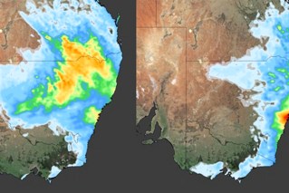
Bureau of Meteorology senior forecaster Scott Williams said 40 to 50 per cent of the country would experience rain, showers and thunderstorms this Saturday and Sunday.
The extreme weather desk forecaster said southern Queensland, north east New South Wales and Victoria should expect thunderstorms this weekend.
Mr Williams said many areas set to see rain had been exceptionally dry in the last month or so and had experienced elevated fire dangers.
“This rain brings with it humidity and lower temperatures,” he said.
“It will drop the fire danger and push back this dangerous period a little bit later into spring. I can’t see the return of dangerous conditions as it will take a couple of weeks to dry out again.”
Mr Williams said a number of thunderstorms were expected Saturday in the southern part of Queensland in areas such as Darling Downs and would spill through the north of New South Wales and the northern tablelands.
“Looking at the modelling, areas like Darling Downs could see 30 to 50 millimetres with isolated, higher totals in other areas.”
Mr Williams said the low, surface pressure trough would move through Sunday, coming across Victoria with heavy rainfall and thunderstorms in Melbourne.
“It doesn’t look like it will hit Sydney, but it will move across the west of the Great Dividing Range with thunderstorms and fall ups to 50 millimetres,” Mr Williams said.
It follows the Bureau of Meteorology reporting the driest September on record in the Murray-Darling Basin.
The weather authority said “serious to severe deficiencies” were present across the majority of New South Wales, parts of Queensland, South Australia, the western Top End, eastern Victoria and eastern coastal areas of Tasmania.
Mr Williams said moisture from the tropics off the Gulf of Carpentaria would also spill through the sparsely populated, but tourist hotspots of central Australia at the intersection of Western Australia, Northern Territory and South Australia.
He said people visiting Uluru and Kings Canyon would experience storms in the afternoon on Friday and Saturday.
“This is an area where nobody lives, but some people who visit around Uluru and Kings Canyon will experience highly unstable, very moist, big thunderstorms and some localised rainfall exceeding 50 millimetres,” Mr Williams said.
