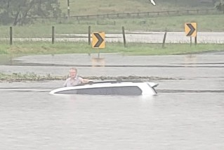
Record flooding turns Derby and Broome into sodden islands
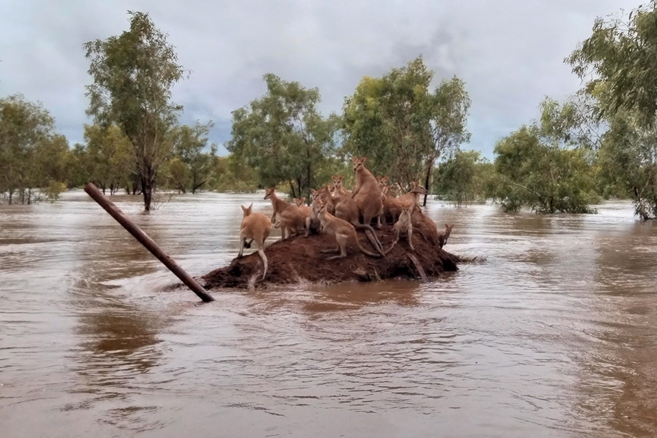
Kangaroos huddle on a clump of high ground as the Kimberley reels from the worst floods ever seen. Photo: AAP/Andrea Myers
Authorities have warned residents downstream at two major Kimberley towns – Broome and Derby – their communities are about to become islands.
And damage is extensive in the remote town of Fitzroy Crossing, hit by Western Australia’s worst flooding as the receding reveal the extent of the devastation.
“Be under no illusions Derby will be an island in the next few days, it will be cut off,” Emergency Services Minister Stephen Dawson told reporters on Friday.
“The weather and the water, it’s coming towards it so there will be isolation for probably Broome and Derby.
“This is only starting and we’ve got days of this ahead of us.”
The flood waters peaked in Fitzroy Crossing, 400km inland from Broome, at a record 15.81m late on Wednesday, with mass evacuations in and around the town of 1200.
It was caused by ex-tropical cyclone Ellie dumping an unprecedented amount of rain as it circled the town three times, taking the Bureau of Meteorology and authorities by surprise.
Long-term resident and mechanic Dwayne Ben said the Fitzroy River rose further and faster than he had seen before, catching many people, including himself, by surprise.
Historic pub swept away
“I’m here at my workshop and everything is completely destroyed,” he told AAP.
Mr Ben said the water flooded the business overnight, destroying all the equipment and 12 vehicles, including a police car in for repair.
He said damage in the town was extensive but it was difficult to tell exactly how many homes and businesses had been destroyed because many roads were still flooded.
“As far as the communities, Muludja and places like that, they’d be completely gone,” he said.
“Depending on what happens now the water has gone down further towards Noonkanbah and that, it might be thousands of homes.”
Mr Ben said the town’s oldest hotel on the river bank was also likely to have been destroyed.
“The Crossing Inn, which is a very historic building and pub, it’s completely gone, from what I heard,” he said.
A town rises to the challenge
“At the moment they’re cleaning up the supermarket so they can get food back in there … They only just got power on.”
The bureau said the Fitzroy River’s massive flood peak had now moved downstream and slammed into the tiny Indigenous community of Noonkanbah, 280km east Broome.
Helicopters started plucking anxious residents from the sodden outstation on Thursday as about 60,000 cubic metres of water per second flowed down the swollen waterway.

The historic Crossing Inn is believed to have been largely destroyed by the rising wall of water. Photo: Facebook
It’s created a 50km-wide inland sea across the flood plain, with residents in Mt Barnett and Christmas Creek to the north and south of Fitzroy Crossing also warned to be on alert.
“Water will be fast flowing and levels will rise quickly,” Mr Dawson said.
“This emergency situation is still evolving. It’s the worst flood disaster in our state’s history.”
Looma and Willare are also flooded, with dozens of others isolated, after seven-day rainfall totals up to 600mm were recorded across the region.
Emergency workers continue to rescue residents, as a massive operation involving the Australian Defence Force gets underway to ensure essential supplies reach cut-off communities and pastoral stations.
Vast stretches of road closed
A 400km section of the Great Northern Highway south of Broome has been closed and a 500km part of the same freight route between Willare and Halls Creek remains shut.
Authorities say it could take weeks, if not months, for the only road transport link to the north of the state to reopen.
Road and bridge damage assessments haven’t started as ex-tropical cyclone Ellie, which on Friday afternoon was about 350km southeast of Broome, continues to dump rain on the region.
The slow-moving weather system began heading southeast on Friday and is expected to move further inland towards the Northern Territory over the weekend and weaken.
Meanwhile, major flooding continues in the western NSW town of Menindee, where the Darling River is expected to break the 1976 record of 10.47m in the coming days.
The bureau expects the waterway to reach 10.5m but warns it could rise to 10.7m.
-AAP
