Four months of rain in a day as ex-Cyclone Joyce saturates Perth

Sam Irwin and Jake Wheeler made the most of a flooded Abbett Park in Scarborough. Photo: ABC
The remains of ex-tropical Cyclone Joyce has dumped more than four months’ worth of rain on Perth in less than 24 hours, leading to power blackouts, flooding and causing havoc for planes trying to land at the city’s airport.
The conditions were caused by the remnants of ex-tropical Cyclone Joyce, which pummelled Perth with heavy rain for much of Monday.
The Department of Fire and Emergency Services received more than 330 calls for help, and Western Power said on Tuesday morning blackouts had affected about 1300 homes, with crews working throughout the night to repair damage to its network.
A spokesman for RAC said the insurer had already received more than 670 claims as a result of the weather event.
The city officially recorded 96 millimetres of rain – the wettest January day since 104mm fell on the city on January 22, 2000.
The total is equal to the average rainfall for the city for December, January, February and March combined.
It was also the the second-highest January daily rainfall ever recorded.
https://twitter.com/a_film_maker/status/953036151199182848
Bureau of Meteorology duty forecaster Noel Puzey said coastal areas bore the brunt of the downpour.
“We’ve seen, at least for the Perth metro area, that Rottnest Island has had 142mm of rain, Swanbourne and Bickley more than 138mm, 96mm for Perth metro site and 118mm for Jandakot,” he said.
“So there’s been plenty of falls above 100mm through much of the metro area.”
The wild weather also claimed an eight-metre boat at Challenger Harbour in Fremantle.

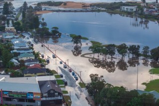
Water has flooded part of Langley Park in central Perth, near the river. Photo: ABC
A neighbouring boat owner said he alerted water police after discovering the partially-submerged vessel when returning from Rottnest Island this morning.
He told the ABC the owner had just bought the boat, which he suspected was now a write-off.
Relief on the way as storm moves south
Mr Puzey said the system produced wind gusts of 90kph and was on Tuesday morning moving into the south-west land division.
But the system is expected to ease off on Tuesday afternoon.
“The low system is now off the coast to the west of Jurien Bay and it’s moving south,” he said.
“It should be off Cape Leeuwin by sometime later this evening, but most of the rainfall has started to clear at least from the northern suburbs in the Perth metro area.
“The majority of the rainfall now is south of Kwinana, but also extending down to the south-west land division towards Bunbury and possibly even Busselton before it starts to ease off later this afternoon.”

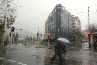
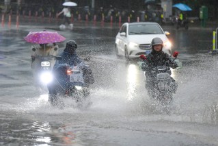
People in the Perth CBD brave heavy rain that soaked the city in the aftermath of ex-tropical Cyclone Joyce. Photo: ABC
