More wet weather set for Queensland after weekend drenching
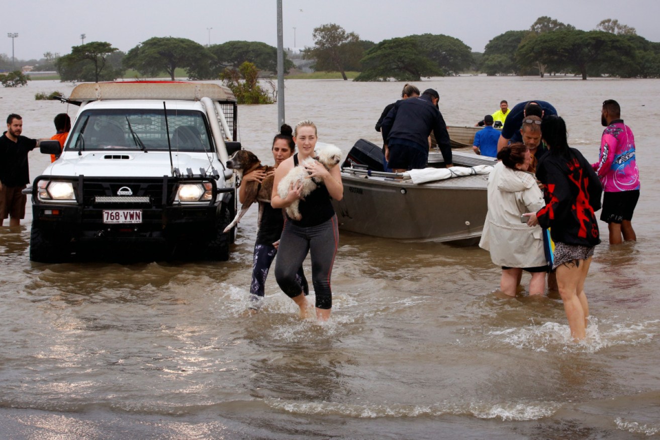
Flood-affected people are evacuated from Townsville over the weekend. Photo: Getty
The wet weather that battered Queensland over the weekend shows little sign of easing off, with showers predicted to continue.
The Bureau of Meteorology says falls of up to 30mm are forecast throughout Monday.
While a severe thunderstorm warning for the region has been cancelled, moderate to minor flood warnings remain in place across the state.
This Infrared satellite imagery highlights the coldest cloud in the highest level of the troposphere. This loop allows us to visualise the upper low/trough over NSW, causing the recent rainfall through southeast QLD. Also see the cold cloud mass around a tropical low near Vanuatu pic.twitter.com/slc3wnfDOW
— Bureau of Meteorology, Queensland (@BOM_Qld) February 9, 2020
The town of Dalby, northwest of Brisbane, has been warned of potential flooding after heavy rainfall in the region.
Rain is also forecast for the Cape York Peninsula with a monsoon off the coast, while Thursday Island could receive up to 70mm over Monday and Tuesday.
Western parts of Queensland are forecast to stay dry throughout the week, and a trough is preventing rain heading to the state’s southwest region.
There is good news for the drought-stricken southern interior, however, where further falls are forecast to start the week.
Up to 15mm of rain could fall in the town of Stanthorpe, which officially ran out of drinking water in January and had to start trucking in water from a nearby dam.
Southern Downs mayor Tracy Dobie said Stanthorpe’s main water supply, Storm King Dam, recently had a month’s worth of drinking water flow into it.
She said the dam would need six months’ worth of water for water trucking to cease.
-with AAP