Cyclone Nathan to become category three
ABC
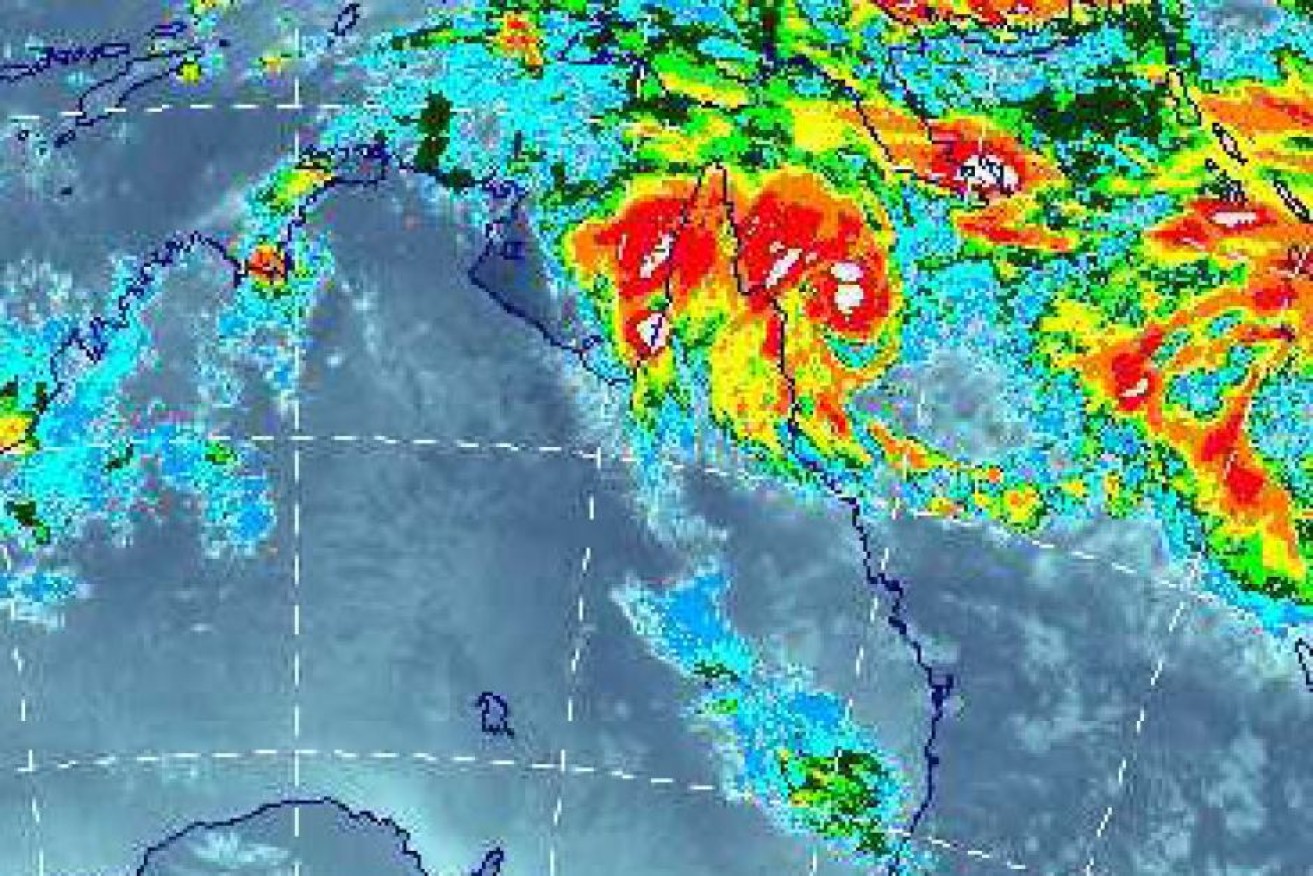
Cyclone Nathan is on track to develop into a category three system as it brings destructive winds to far north Queensland.
The Bureau of Meteorology (BOM) expects the storm, which was a category two on Wednesday afternoon, to intensify on Thursday before going back out to sea.
Just before 5pm on Wednesday, Cyclone Nathan was about 205km northeast of Cooktown and was heading towards the coast about 14km/h, with gusts up to 130km/h.
• Cyclones to form off WA, Qld coasts
• Cyclone Lam repairs to cost more than $100 million
• Power almost restored after Cyclone Marcia
The bureau expects very destructive winds to batter Queensland’s coastline between Cape Flattery and Cape Melville, north of Cooktown, from Thursday morning.
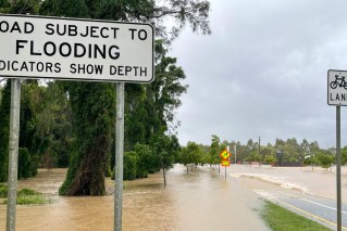
Heavy rain and flash flooding is expected, and abnormally high tides could develop along the coast on Thursday.
Acting Chief Superintendent Brett Schafferius says although Cyclone Nathan was not expected to hit the coast, residents should not be complacent, particularly given how unpredictable such systems could be.
Disaster management groups in the region have been in regular contact.
Central Queensland was rocked by category five Cyclone Marcia in February, which was also tipped to be a much weaker system before it intensified as it hit the coast.
Emergency Services Minister Jo-Ann Miller said Cyclone Nathan could still wreak havoc without crossing the coast.
“I don’t mind sounding like a broken record on this – it’s dangerous to drive across flooded roads or to let your children play in floodwaters,” she said.
Meanwhile, BOM has issued a severe thunderstorm warning for areas between Wollongong, Gosford and Bourke in NSW.
Large hailstones, heavy rainfall and damaging winds are heading towards the NSW coast between Wollongong and Gosford, prompting authorities to issue a severe weather warning.
The State Emergency Service is advising people in areas around Gosford, Cessnock, Penrith, Parramatta, Orange, Mudgee, Bathurst, Katoomba, Dubbo, Parkes, Nyngan and Cobar to move cars undercover, secure loose items around the home and stay away from waterways and fallen powerlines.
“Severe thunderstorms are likely to produce large hailstones, heavy rainfall that may lead to flash flooding and damaging winds in the warning area over the next several hours,” the BOM warned.
– AAP
