Cold front to blast plummeting temperatures and heavy rain across NSW, Victoria
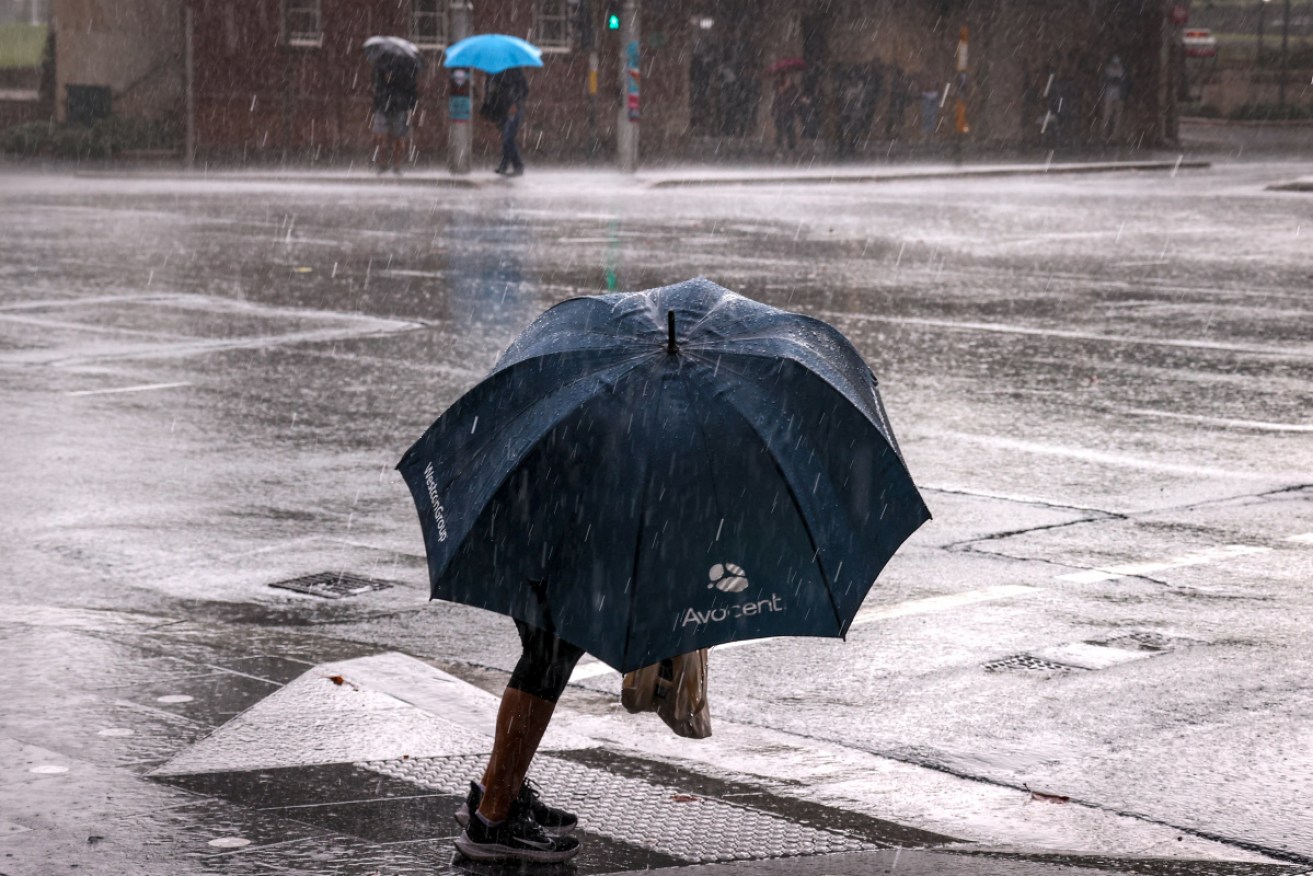
Glimpses of sunshine in NSW will be short-lived with more heavy rain expected by midweek. Photo: AAP
A cold front – courtesy of a polar air mass – is sweeping in from the Great Australian Bight, bringing large rainfall totals, snow, and plummeting temperatures to the Eastern states, just in time for the weekend.
Melbournians should break out their winter woolies, with the coldest days of the year so far en route.
NSW has already had a taste of the cold front to come, with Sydneysiders waking bewildered to thick fog two mornings in a row.
Tweet from @BOM_NSW
NSW cold front woes
Bureau of Meteorology meteorologist Helen Reid said come Friday morning, fog would be replaced with rain for the capital.
“Rainfall is expected right through the eastern part of the state and into the ACT,” Ms Reid said on Thursday.
NSW – and Queensland – should prepare for a few days of wet, she said.
Widespread rainfall totals by early Thursday afternoon were tipping 20 millimetres around western NSW, Ms Reid said, and were likely to hit 30 millimetres by the late afternoon to early evening.
Ms Reid said there were no active flood warnings yet for NSW, but urged residents to keep an eye on the bureau’s website for changing conditions.
Thunderstorms are also possibly for the ranges, as well as moderate rainfalls into southern Queensland.
Snowfall is forecast down to 800 metres in NSW on Saturday and Sunday.
One season in four days
While Victoria and Melbourne have enjoyed sunny – yet cool – weekdays, that run is over come Friday.
The Bight’s cold front will bring rainfall and plummeting temperatures to most of the state from Friday.
Melbourne’s temperature will dip to five degrees on Saturday, with a high of just 12 degrees forecast, along with a chance of hail.
Sunday and Monday are expected to be much the same.
Not the Sunshine State
Queensland is also in for a soaking this weekend, with showers on the east coast turning gradually heavier towards the North Tropical Coast on Thursday. Showers and thunderstorms will welcome in the weekend.
“We’re going to see substantial falls, many areas of southeastern Queensland are looking at comfortably more than a month’s worth of rainfall from this event,” Sky Weather’s Rob Sharpe said.
Brisbane should prepare for up to 65 millimetres of rain in total, between Thursday and Sunday, while the Gold Coast could receive 100 millimetres by the end of the weekend, with Saturday expected to be the wettest day.
Want to see more stories from The New Daily in your Google search results?
- Click here to set The New Daily as a preferred source.
- Tick the box next to "The New Daily". That's it.


Epic, landmark finale for Aussie star at Games

'Absolutely wild': Gymnasts top off golden Games


Mollie dethroned as golden wave surges on

Aussies bank more gold, while Games records fall