These suburbs could be underwater in just decades
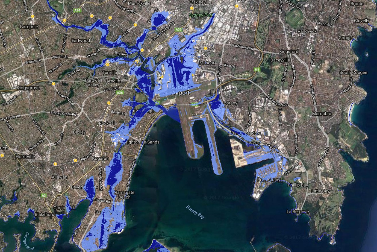
The prediction shows Sydney Airport, Sans Souci, Double Bay and suburbs along the Parramatta River underwater in a matter of decades. Photo: Coastalrisk.com.au
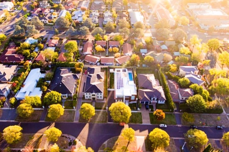
Some of Australia’s most densely populated suburbs, major cities and crucial pieces of infrastructure, such as Sydney airport, could be underwater in just decades, according to an alarming new prediction.
A newly developed map of Australia, based on data from National Oceanic and Atmospheric Association (NOAA) in the US, shows places like Port Melbourne, Sydney’s Double Bay, the Gold Coast, Cairns and Byron Bay, are at risk of becoming uninhabitable in a matter of decades.
Sydney, Brisbane and Hobart airports are also in danger of being swamped, according to the predictions.
In a new report, NOAA projected the global sea level to rise a maximum of two metres by the year 2100, if greenhouse gas emissions continue at “business as usual” levels.

Melbourne’s southern and western suburbs and CBD will be worst affected. Photo: Coastalrisk.com.au
Map creator Nathan Eaton said the fresh information revealed that the estimated worst case scenario, predicted in a 2013 report, is now the most likely outcome.
In that report, the maximum rise was predicted at 74 centimetres.
“We want to give people a chance to prepare and having this information available is the first step to becoming aware of what challenges their community might have to face,” Mr Eaton said.
The map, made available on the website Coastal Risk Australia, shows the estimates from 2013 layered against the new information at a high tide scenario.
The year 2100 might seem too distant to worry about; but Mr Eaton said he wanted to showcase a year that would see a heavy blow.
“The current generation that’s being born will have to deal with this, so it’s actually not that far away if you think about it,” he said.

The prediction for the Gold Coast is dire. Photo: Coastalrisk.com.au
Action is already being taken.
The Gold Coast, for instance, has already begun building a seawall to strengthen the city’s defences against erosive wave action and wild weather.
Australian Coastal Councils Association executive director Alan Stokes said the map reinforced that all levels of government needed to start taking sea level risks seriously.
“Anybody in their right mind would have to be worried about what impact that sort of inundation is likely to have,” Mr Stokes said, adding that he is frustrated that the Federal government neglected to address emissions levels in the latest budget.
Around 85 per cent of Australia’s population live near the coast.
Mr Stokes said those looking to buy in these areas, should proceed with “open eyes” and to take all factors into account.
“It’d be difficult to ignore the potential risk for people buying into these coastal suburbs. You really need to do your research, have a look at the maps and know what the risk is,” he said.
If unmitigated greenhouse gas emissions continue, a two-metre rise in sea levels is not a matter of if, but when, according to University of New South Wales Climate Change Research Centre’s Professor, John Church.
A major reduction in the world’s carbon emissions would “substantially reduce what level we’re likely to get to”, he said.

Newcastle and the NSW Central Coast will be inundated. Photo: Coastalrisk.com.au
‘Map doesn’t go far enough’
The map, however, does not take into account local conditions.
Australian National University ocean and climate change expert, Professor Eelco Rohling, said while the map was a useful tool to communicate the threat of climate change, it is too simplified to be used effectively by city planners.
“The general public wants to be shown, but not told, the details,” Professor Rohling said.
“The danger is that you’re under-informing people. I find that a bit of a shame.”
He adds that two main factors influencing the rate of sea level rise should have been taken into account when putting the map together: glacial isostatic adjustment (when the Earth’s crust bounces back from the weight of a glacier after it has melted) and the different scenarios of melting in Greenland and Antarctica.
Professor Rohling said these two factors could change the local sea level rise by tens of centimetres.
Anthea Batsakis is a freelance writer
