Sydney weather hits 148-year record high, Adelaide and Melbourne cool
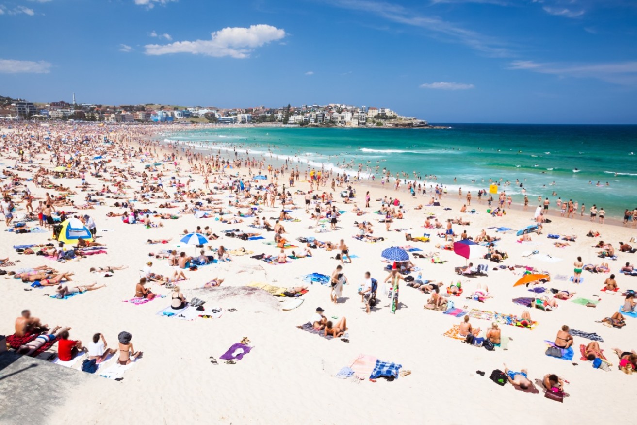
Pack your beach bag - the weather is heating up. Photo: Getty Photo: Getty
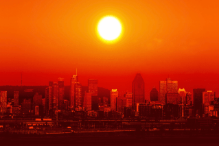
Sydney has sweltered through its warmest December night in more than 150 years and one of the hottest on record.
Temperatures in the city only dipped down to 27.1C on Tuesday night, the weather bureau confirmed on Wednesday, which is the highest minimum on record since 158 years ago on Christmas Day 1868, when it dropped to 26.3C.
The temperature also smashed all but one previous record, making it the second-warmest Sydney evening in recorded history.
Just after 6am, the CBD was sitting just above 27C and temperatures ranged from around 23C to 28C across the greater Sydney area.
The city is looking at a scorching high of 38C on Wednesday, after peaking at 37.8C on Tuesday.
Weather experts had said if Sydney temperatures didn’t drop below 26.3C overnight on Tuesdsay, it would be the warmest December night since 1868 — almost 150 years.
Temperatures had been forecast to remain in the high 20C area for most of the night.
The Bureau of Meteorology is expected to confirm whether or not records were broken on Wednesday morning.
Hobart, Adelaide, Melbourne and Canberra would cool on Wednesday, while Perth, Brisbane and Darwin would remain warm like Sydney.
BoM forecaster Miranda Langton confirmed to The New Daily that Sydney’s 1868 record for the hottest night (or recorded daily low) in December would have been on track to be eclipsed overnight Tuesday.
She also confirmed the forecasted 26C overnight temperature and the 37.8C Tuesday maximum in Sydney smashed three other records.
“Sydney reached a top of 37.7C on Monday and Tuesday hit 37.8C,” Ms Langton said. “The last time we had two days in a row greater than 37C was in 2002.”
Ms Langton said on Tuesday: “If the temperature gets to 26C it will be the hottest Sydney night in any month since February 2011.”
The 37.8C temperature recorded in Sydney on Tuesday is the city’s hottest December day for 11 years, the BoM also confirmed.
The hot weather led to total fire bans being declared across 10 districts in South Australia, seven in NSW and three in Victoria.
On Tuesday evening an emergency bushfire warning for Cessnock, north of Newcastle, was downgraded to a watch and act.
Firefighters did a monumental job in controlling a blaze that was the combination of two bushfires, which joined after travelling from Abermain and Neath at 4pm AEDT.
Earlier, water-bombing aircraft were deployed to help ground crews working to control the blazes which cut roads in both directions.

A bushfire at Abermain as seen from Cessnock Racecourse. Photo: Twitter/ABC
Louise Campbell from Abermain told the ABC there were a lot of firefighters in the area.
“We’ve got a good load of trucks and police are blocking off the roads to help them get through and we’ve got a helicopter,” she said.
Firefighters remained on duty to tackle a bushfire burning out of control on 3300 hectares of land between the Nullarbor Roadhouse in SA and the Western Australian border.
Fire crews were also on standby in parts of Tasmania on Tuesday with mild temperatures, low humidity and winds sparking a very high fire danger alert.
National forecast
Meanwhile, Melbourne and Adelaide will experience a much cooler Wednesday after a scorching Monday and Tuesday.

There will still be beach weather in Darwin, Perth and Brisbane. Photo: ABC
A cool change was set to move through both cities late on Tuesday evening cooling the state capitals to a predicted 20C (Melbourne) and 24C (Adelaide).
Canberra would cool too, but only slightly, down from 33C on Tuesday to 29C and rainy on Wednesday.
Brisbane’s temperature will hover around the low 30s until Monday.
Perth will be 30C, 31C and 34C on Thursday, Friday and Saturday and Darwin is forecast to be over 30C for at least the next week. Hobart, which was 29C on Tuesday, will cool significantly to a forecast 16C on Wednesday.
– with ABC and AAP
