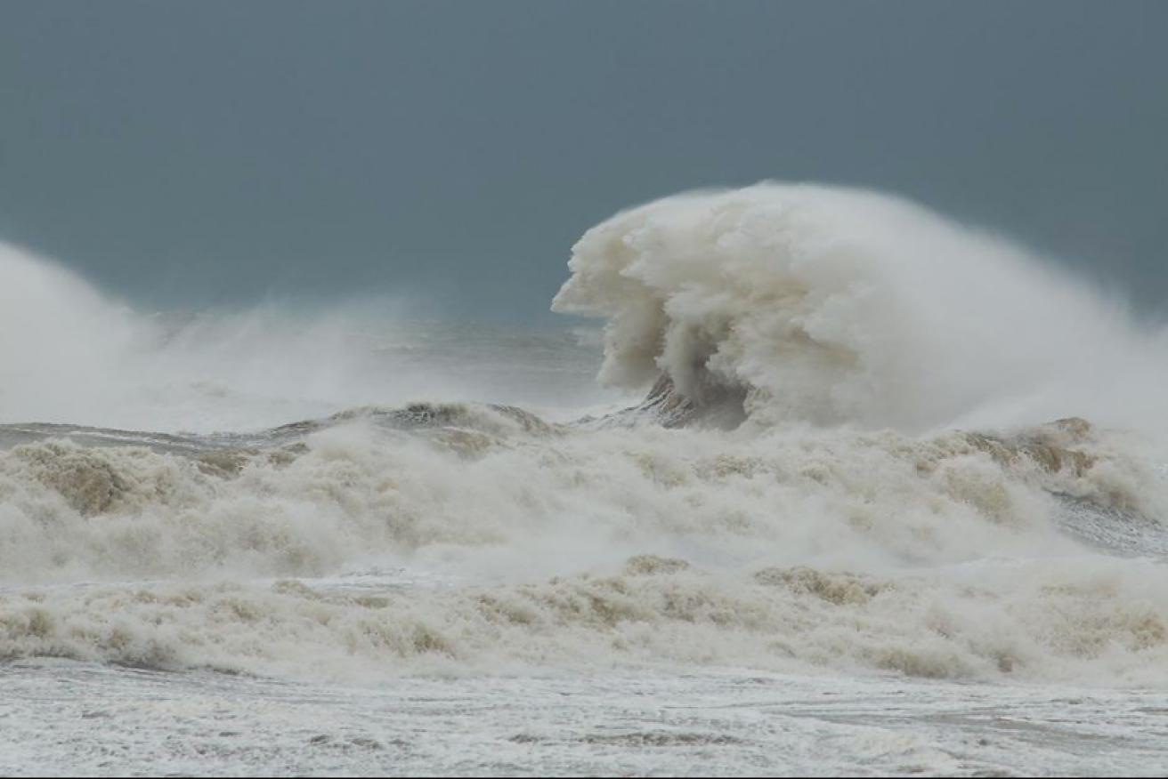
Gale force winds to lash NSW, Victoria and Tasmania

Massive winds will lash three states causing chaos in the water. Photo: ABC Tasmania
The Bureau of Meteorology has issued a severe weather warning for Victoria, Tasmania and New South Wales, as a run of unseasonably warm weather is interrupted by torrid conditions.
The BoM says a “damaging” cold front will lash Victoria and NSW on Friday, while Tasmania will be hit by “100km/h wind gusts” from Thursday evening.
But while Tasmania and Victoria will shiver through the cold front, temperatures will remain surprisingly warm in parts of NSW. So warm, in fact, it could break records.
BoM forecaster Peter Blake told The New Daily the cold front would bring severe winds to each state.
“It is a very windy period expected,” Mr Blake said. “Winds will be picking up over night, especially over elevated areas.
“Wind gusts of around 90 to 100km/h can be expected. Over the alps it could get as high as 110 to 120km/h,” he said. “It’s not exceptionally cold air that we will see, but there will be quite a bit of shower activity.”
‘Record’ in New South Wales
While parts of NSW were set to be hit by strong winds, Sydney would swelter by its winter standards.
The BoM predicted a temperature of 25C on Friday, while independent forecaster Weatherzone tipped temperatures could hit 26C – a record warm for July.

People are urged to store loose items, leave vehicles under cover and stay away from power lines. Photo: NSW Rural Fire Service
Sydney reached a high of 24.9C on Tuesday, the warmest July day in two years.
For the rest of the state, the BoM warned that NSW would be hit by a “strengthening northwesterly airstream expected across the state ahead of a cold front on Friday”.
The most severe winds were forecast for southeast NSW, including the ACT.
The NSW State Emergency Service urged people to store loose items, leave vehicles under cover or away from trees and stay as far away as possible from power lines.
Victoria
The severe weather warning issued covers areas of Victoria, including the central and metropolitan areas.

Some areas could see light flooding. Photo: Getty
Again, damaging winds are expected to bring the public the most risk, with showers also expected on Friday.
The cold front will move through the state early on Friday morning.
A flood watch was issued for northeast Victoria and a flood warning was out for the Kiewa River.
Melbourne should reach 19C on Friday before dropping to 13C and 12C on Saturday and Sunday respectively.
Tasmania
Severe weather warnings are in place for north and west Tasmania where wind gusts are expected to exceed 100km/h, BoM said.

Emergency services said parking cars near trees should be avoided. Photo: Getty
Damaging winds due late on Thursday have sparked a warning for residents to be prepared for power outages.
Forecast rain meant there was a general flood watch across the state with flood warnings for several rivers.
“A significant cold front will cross the state during Friday as the associated lows pass to the south,” the Bureau said in its warning.
Hobart would be 15C on Friday, and would then drop to a terribly cold 8C on Saturday.
Tasmania’s cold and wet weather would continue throughout next week.


