Australia from above: view the stunning pictures


Most of us only see our cities and towns from ground level as we rush between the appointments and commitments that dictate our daily lives.
All too rarely do we get an opportunity to step back – or up – and see our country from an entirely different and dramatic perspective.
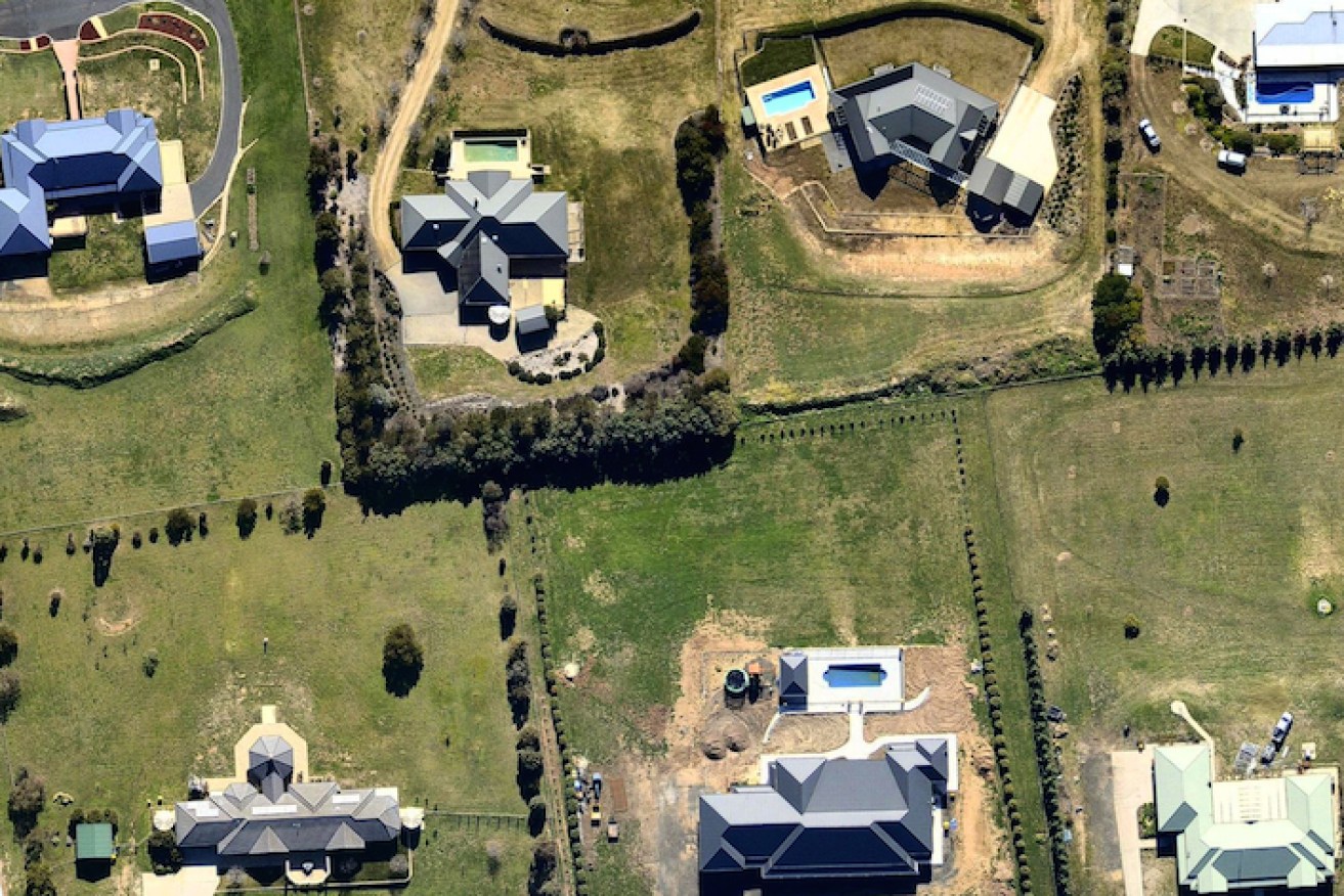
Nearmap is an Australian geospatial mapping and visual analytics company that captures up-to-date aerial imagery of Australia’s varied landscapes. They’ve opened their picture files for readers of The New Daily to share the thrills they experience everyday.
OTHER GREAT ‘SUNDAY BEST’ STORIES
• Here’s why car companies WANT you to buy an SUV
• Recipe road test: Melbourne’s most popular meatballs
• Sunday Funny: Colin Lane’s lame joke
• Planting, growing and harvesting citrus trees
• Bored? Here are three things you can watch right now
• Smart casual: what the daunting dress code really means
Nearmap has planes in the sky at any given time across Australia, “constantly capturing the change and progress of our cities and outskirts in incredible detail” says the company’s CEO, Simon Crowther.
“We capture an incredibly large amount of aerial imagery across the country every single day and we are constantly intrigued by what we find,” he says.
Although most of the work they do is very analytical, Nearmap’s staff can’t help but be amazed everyday by Australia’s landscapes.
Says Crowther: “Everything looks different from the sky. Aerial imagery gives you the opportunity to see things from a new perspective.”
Get the picture?
Stradbroke Island, QLD

Bathurst, NSW
Bondi, NSW
Hope Valley, WA
Moreton Island, QLD
Dreamworld, Coomera, QLD

Canberra, ACT

Geelong, VIC

Shepparton, VIC

Lorne, VIC

Cairns, QLD

Sydney, NSW

Hervey Bay, QLD

Perth, WA

Adelaide, SA

Leonora, WA

Hobart, TAS

Margaret River, WA

Perth, WA

All images courtesy of nearmap.com.


